April, 2026
The Hike to Machu Picchu
Our Machu Picchu adventure started on the early morning train from Ollantaytambo to stop “106km” aka Choquesuysuy. We climbed about 530m over 11 kmup to Inti Punku, the Sun Gate (no big deal after Cusco and the other hikes we did), through beautiful trails dotted with stunning flowers, overlooking spectacular views. And the jewel of one of the Seven Wonders of the Modern World waited for us at the end.
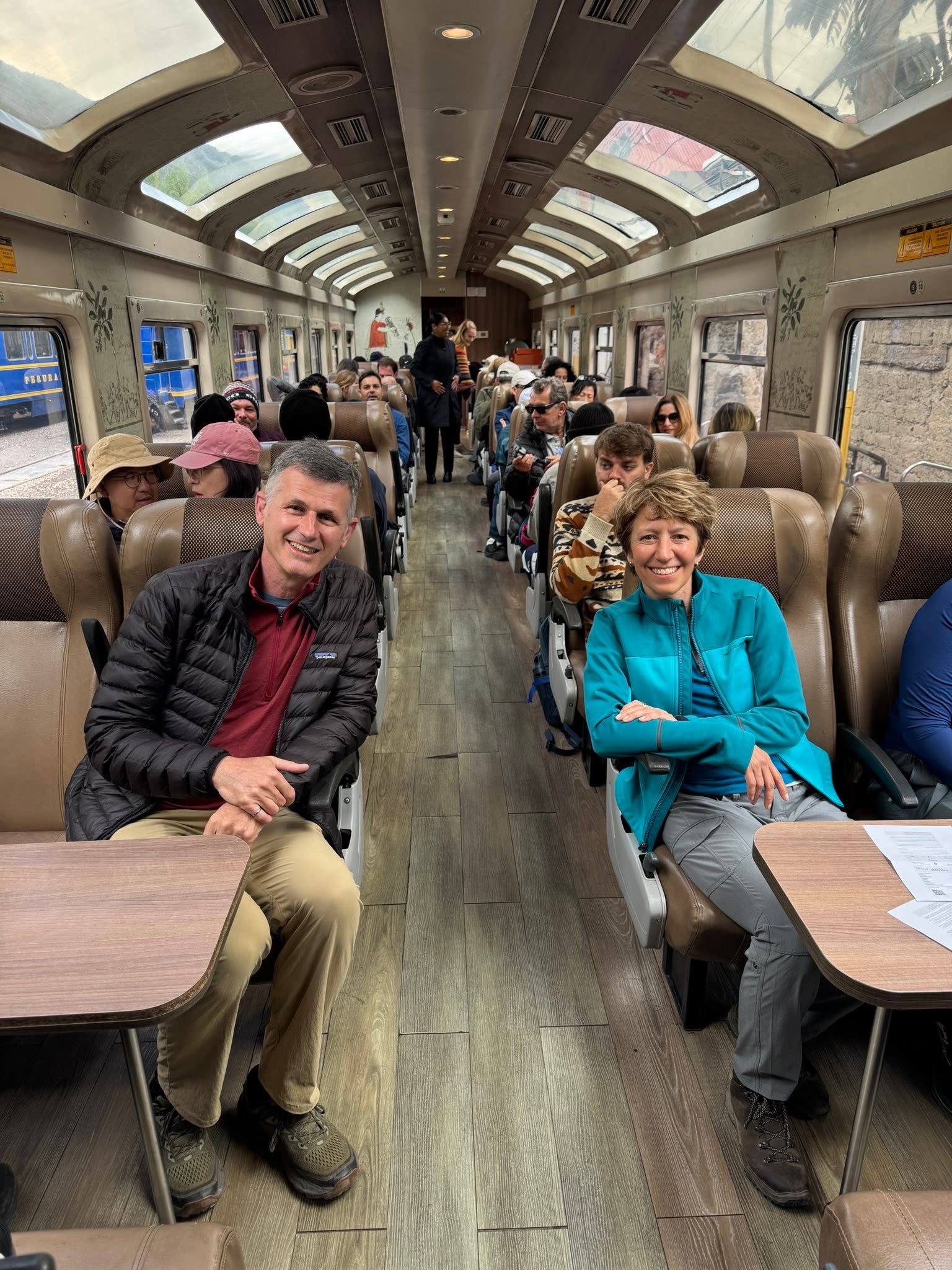
And we’re off on the Inca Rail to Machu Picchu, with as many windows as you can safely put on a train.
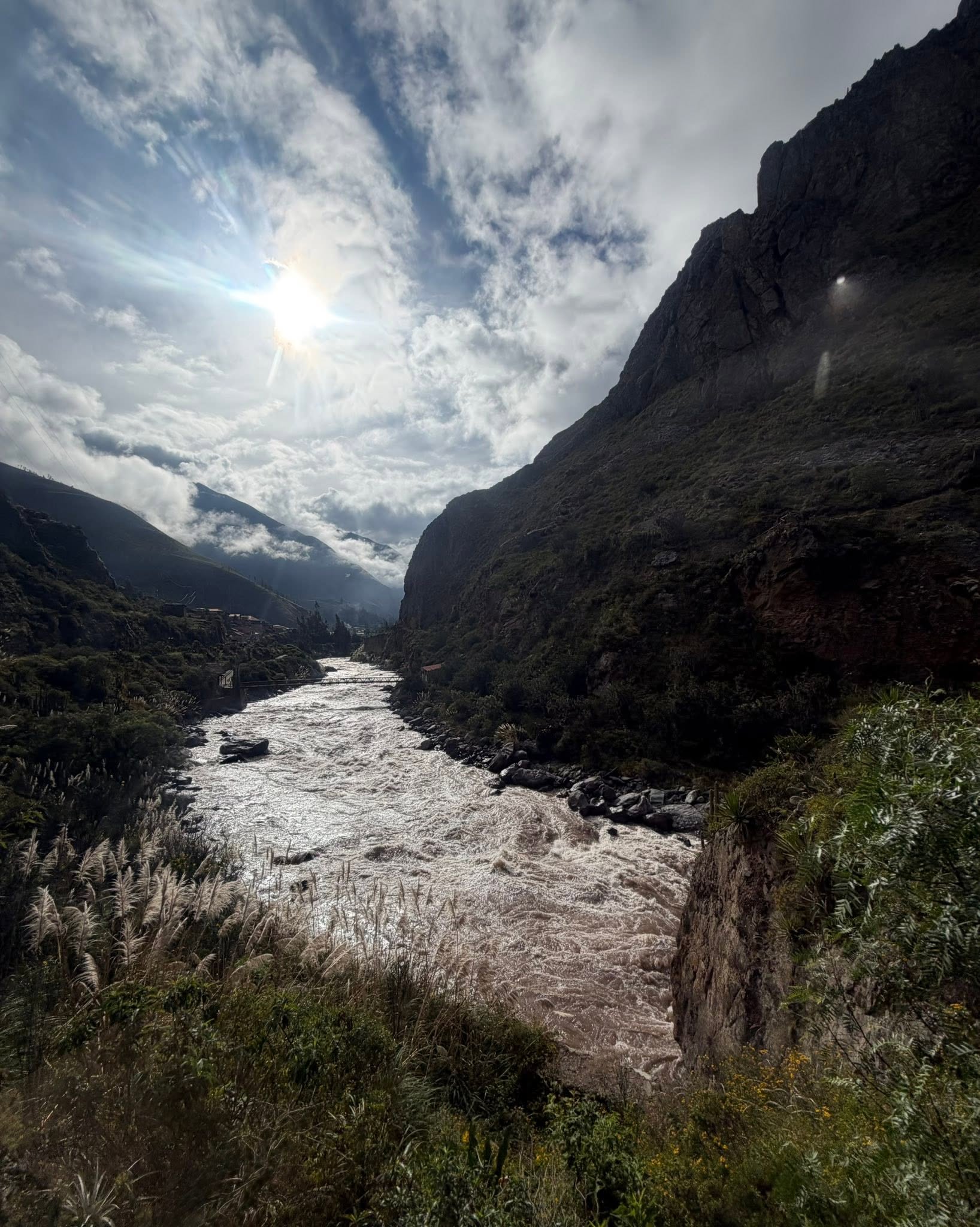
The train snaked alongside the Urubamba River, the lifeblood of the region. Agriculturally, spiritually and strategically, without this sacred, 724km river, the Sacred Valley would not be.
Agriculturally, it kept the Inca empire alive, dropping fertile sediment along its way. The Inca took advantage of this rich water and created carefully graded channels to irrigate their land. Perfect that they were, these channels are still in use today, getting water distribution efficiency rates exceeding 85%. Better than my irrigation system at home. Sadly, I’m pretty sure I can’t kick a rock and distribute some of this magical water to my little garden in Vancouver.
For the Incas, the river was not only a source of water but also a sacred being, a representation of the celestial river they saw in the night sky: the Milky Way. The Incas believed that the Urubamba was connected to the stars, which is why they built many of their temples and cities aligned with it. When you look at a map of the Sacred Valley and the curve of the river, it mirrors the arc of the Milky Way as the Incas would have seen it in the southern sky.
Strategically, Machu Picchu sits high above bow in the river, hugging the sacred site on three sides. A natural moat!
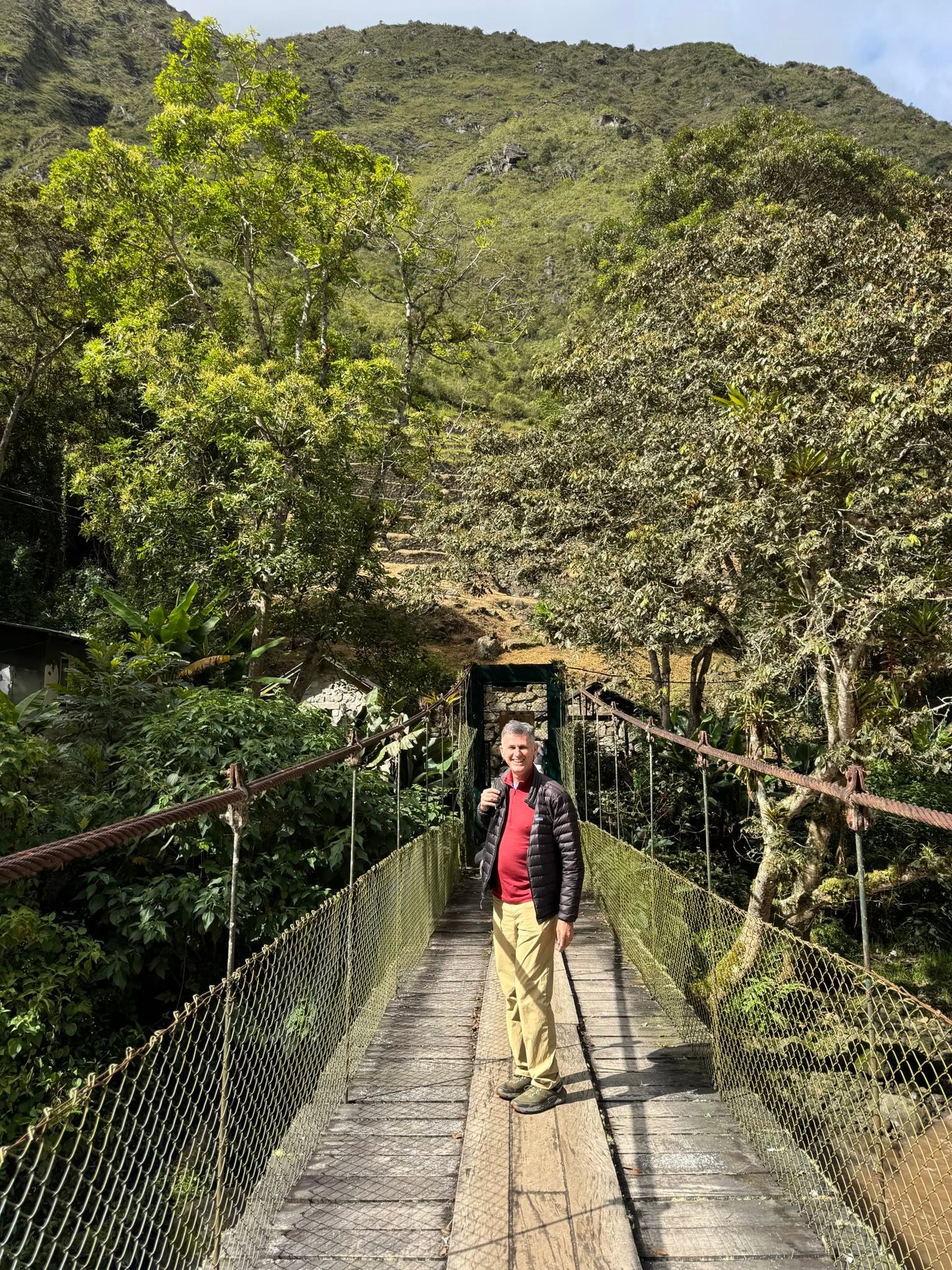
Off the train and crossing the magical Urubamaba river to join up to the Inca Trail. Someone in this picture has dreamed of this for 20 years!
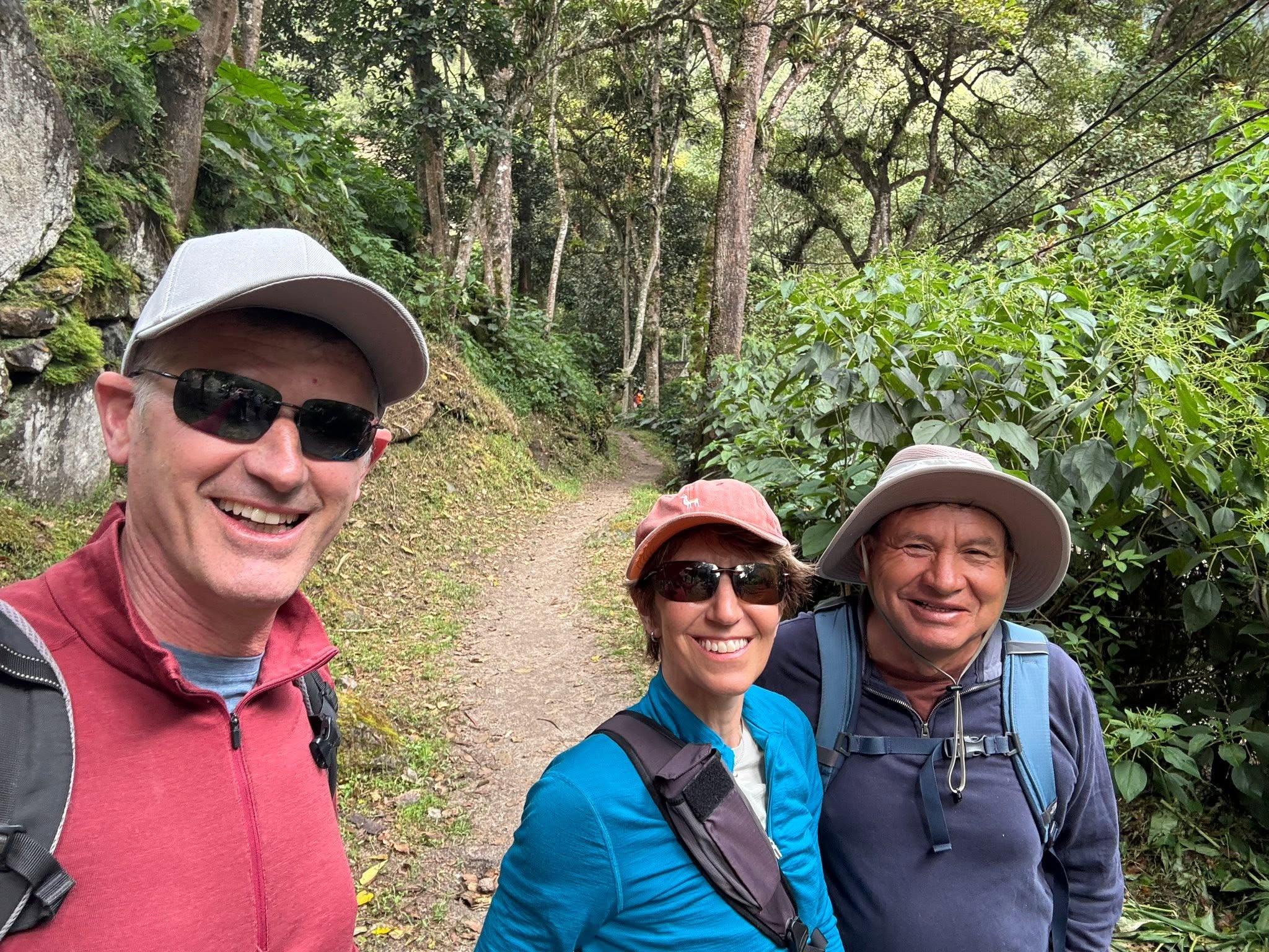
We were guided along this last quarter of the Classic Inca Trail by the incomparable Juan, our guide all week through the Sacred Valley. This 10-11km was one tiny thread of the massive 40,000 km of roads and trails the Incas either built from scratch or incorporated from preceding cultures. Super interesting is they also created a messaging system along these trails. Runners were stationed every 6-9km and operated in relays, delivery messages or perishable food like fish. Information and perishables could travel 240km in a single day!
The entire system was declared a UNESCO World Heritage Site in 2014, the first time multiple countries jointly made a UNESCO submission ( Peru, Bolivia, Chile, Argentina, Ecuador and Colombia).
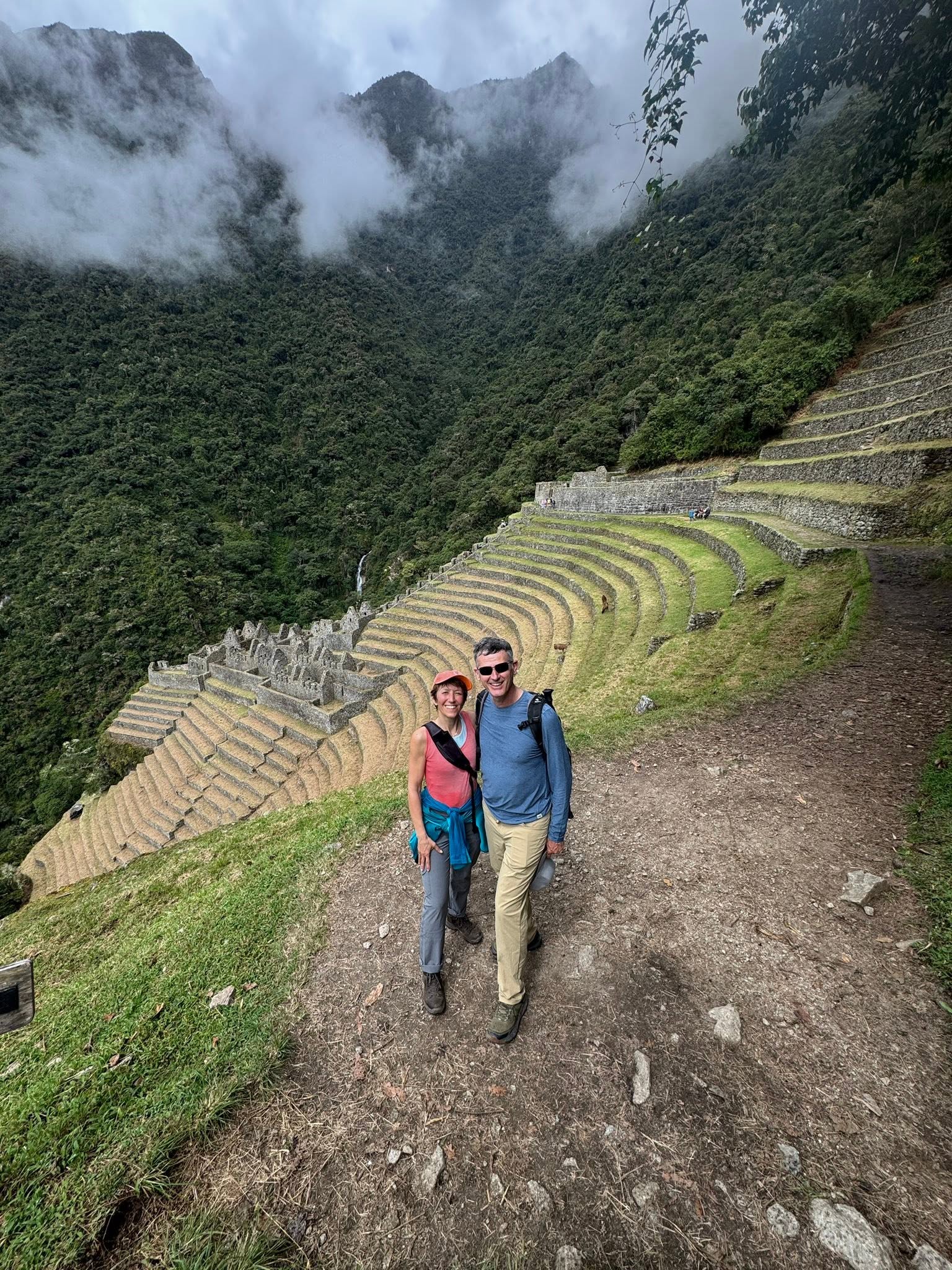
Wiñay Wayna is about 3 km from the Sun Gate, a nice cultural stop on the way. We found it but apparently the Spanish conquistadors never did! It is believed to have been built in the 15th century during the reign of Pachacuti Inca Yupanqui, the same ruler responsible for Machu Picchu, as a ritual cleansing place on the way to Machu Picchu.
Behind us you can see two stone sections among the terraces, connected by a stone staircase. As typical, the upper section, closer to the gods, is where you’ll find the most important structures for the elite, including a semicircular temple. The lower section is for the common people. Of course, that’s where we headed next, to see how the regular folk lived!
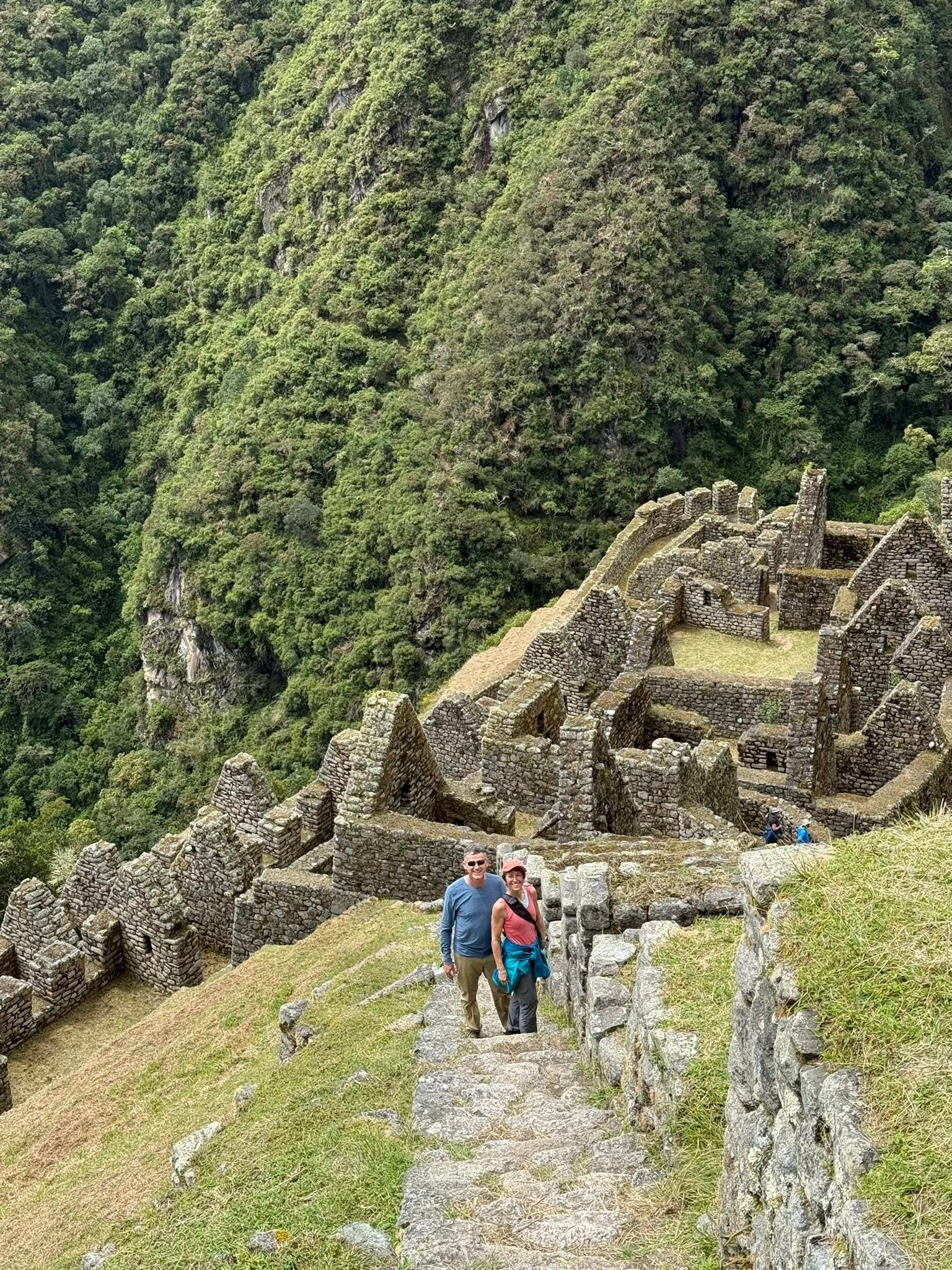
Heading down the stone steps to the heart of the community we passed what is considered to be the crowning glory here. To the right of where we are standing are a series of cascading fountains fed by a network of precision-cut channels bringing water from mountain springs through these ceremonial fountains to the planted fields on the terraces; an ancient irrigation system still functional today!
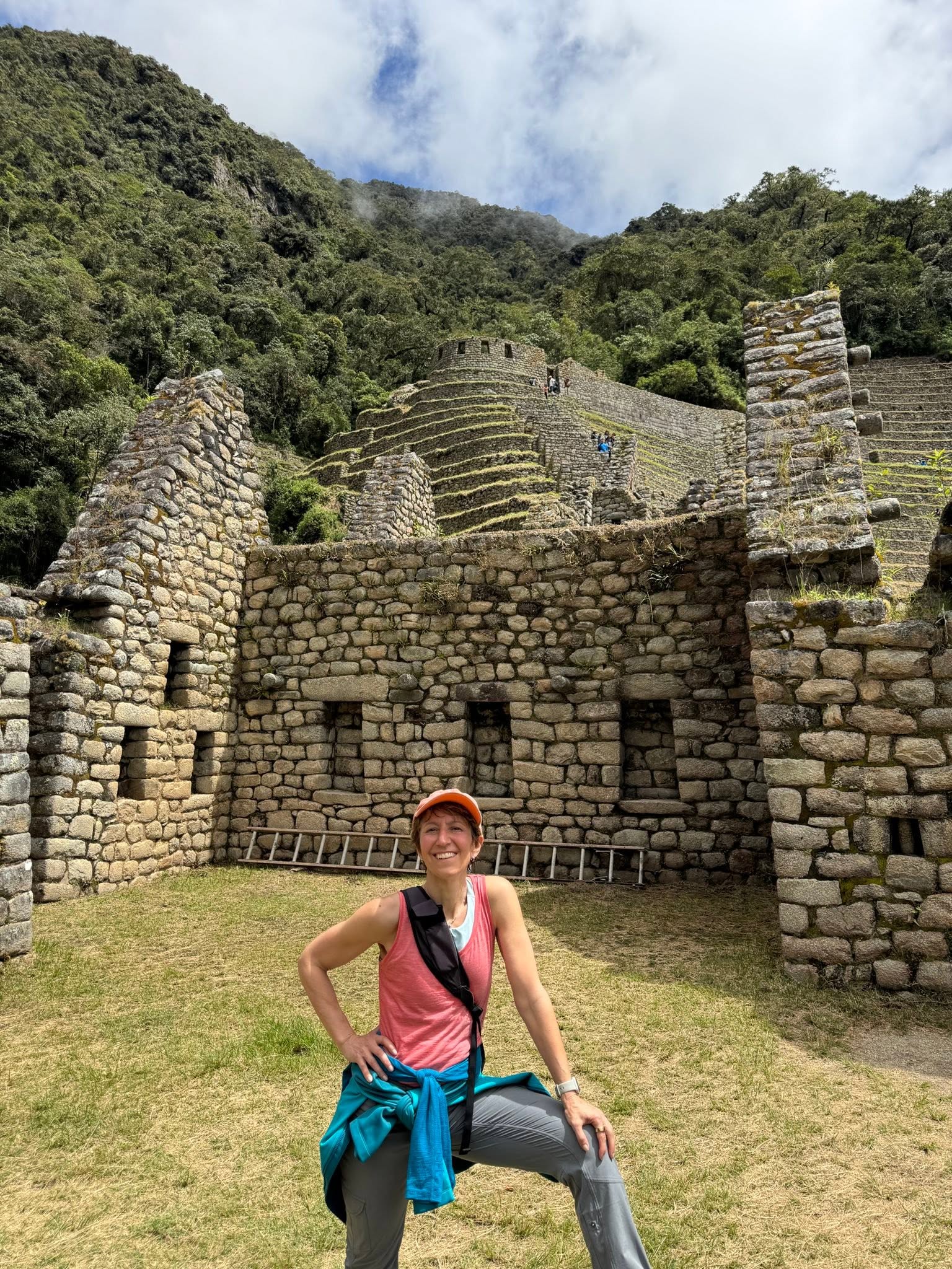
Here in the lower part where the common people stayed, the stones are not precision cut like they are in the loftier neighbourhood, but we are seeing more two storey buildings with upper windows for airflow and lower niches for candles and decorative objects…just to be clear, the ladder is not of the same time period.
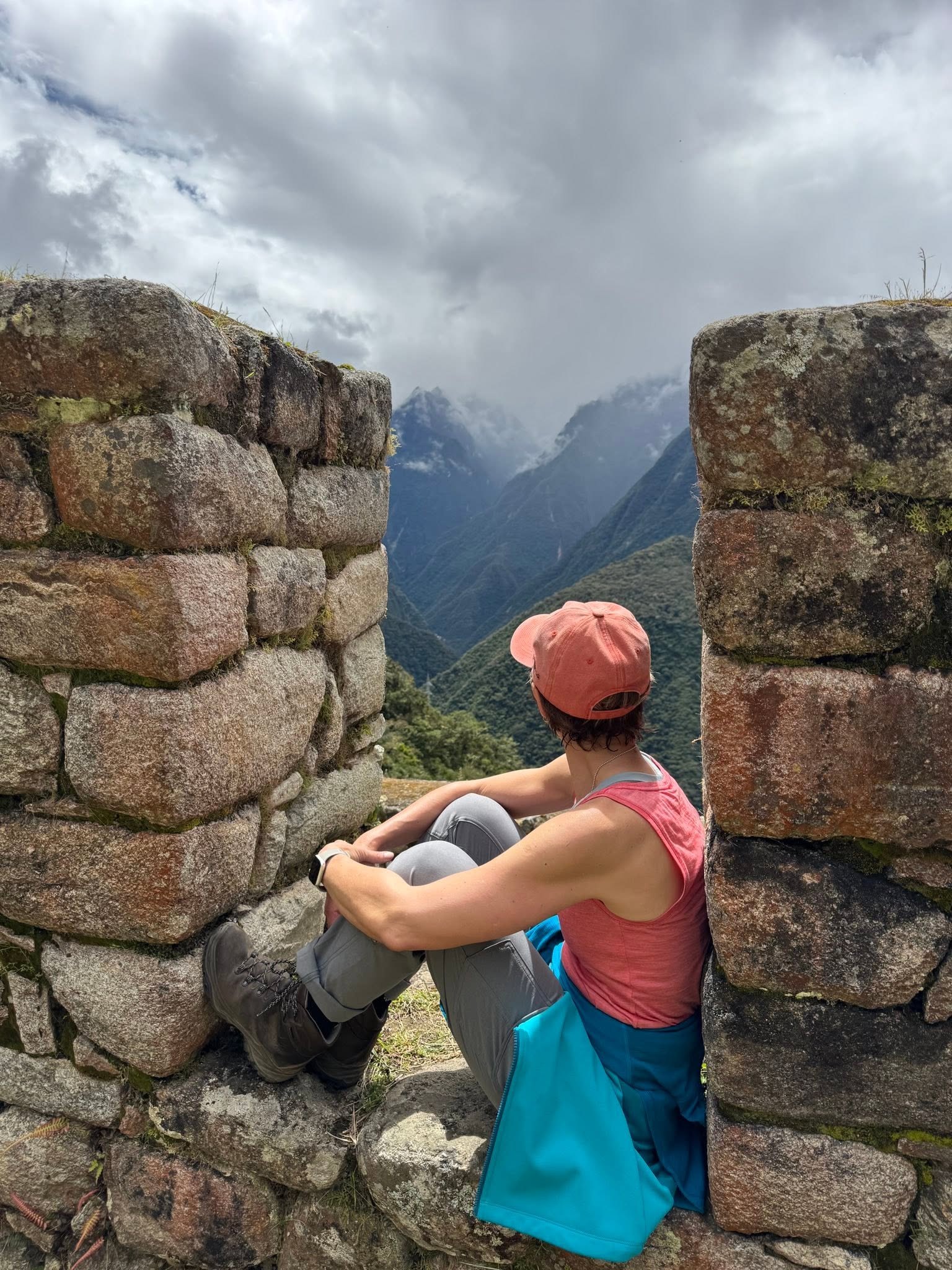
Nice views, even in the common people’s area!
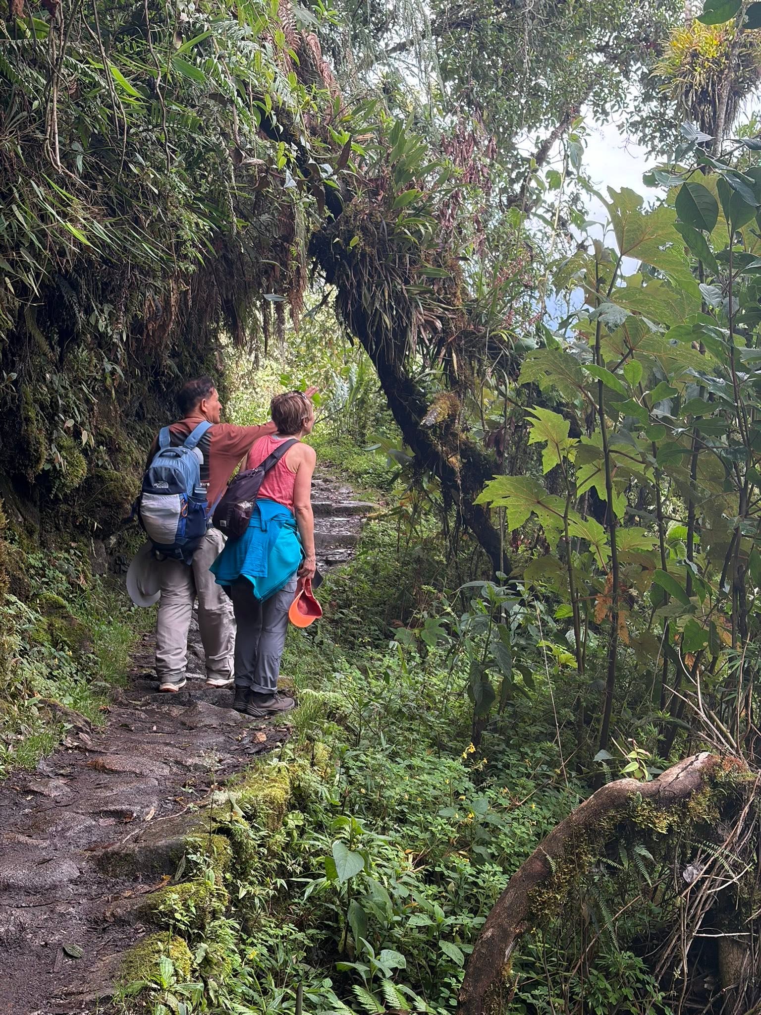
Continuing on to Machi Picchu, Juan is pointing out something important, interesting or both.
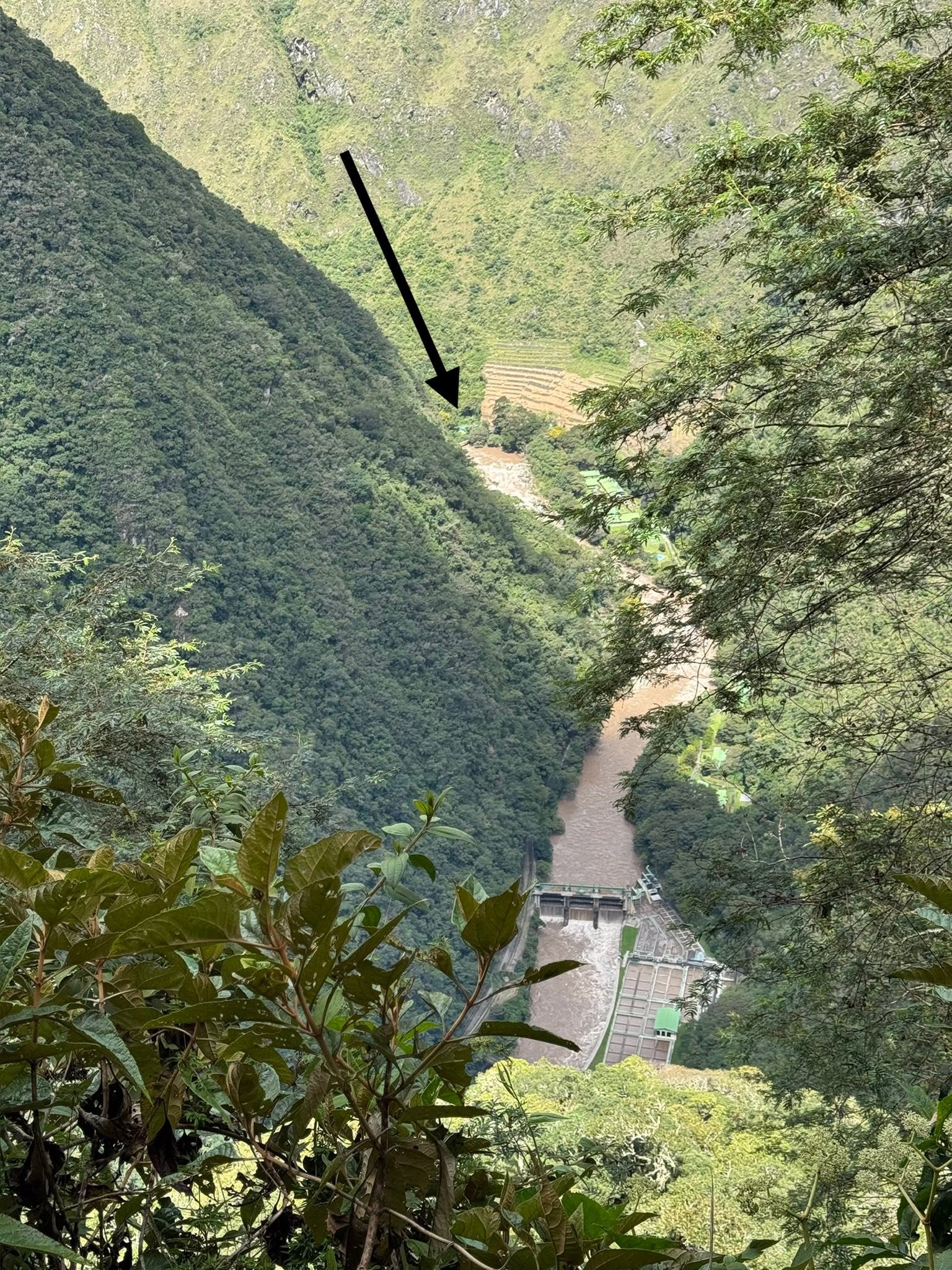
We are getting close to the Sun Gate at the top. If you zoom in where the arrow is pointing, you’ll see the bridge we crossed when we got of the train to start the hike.
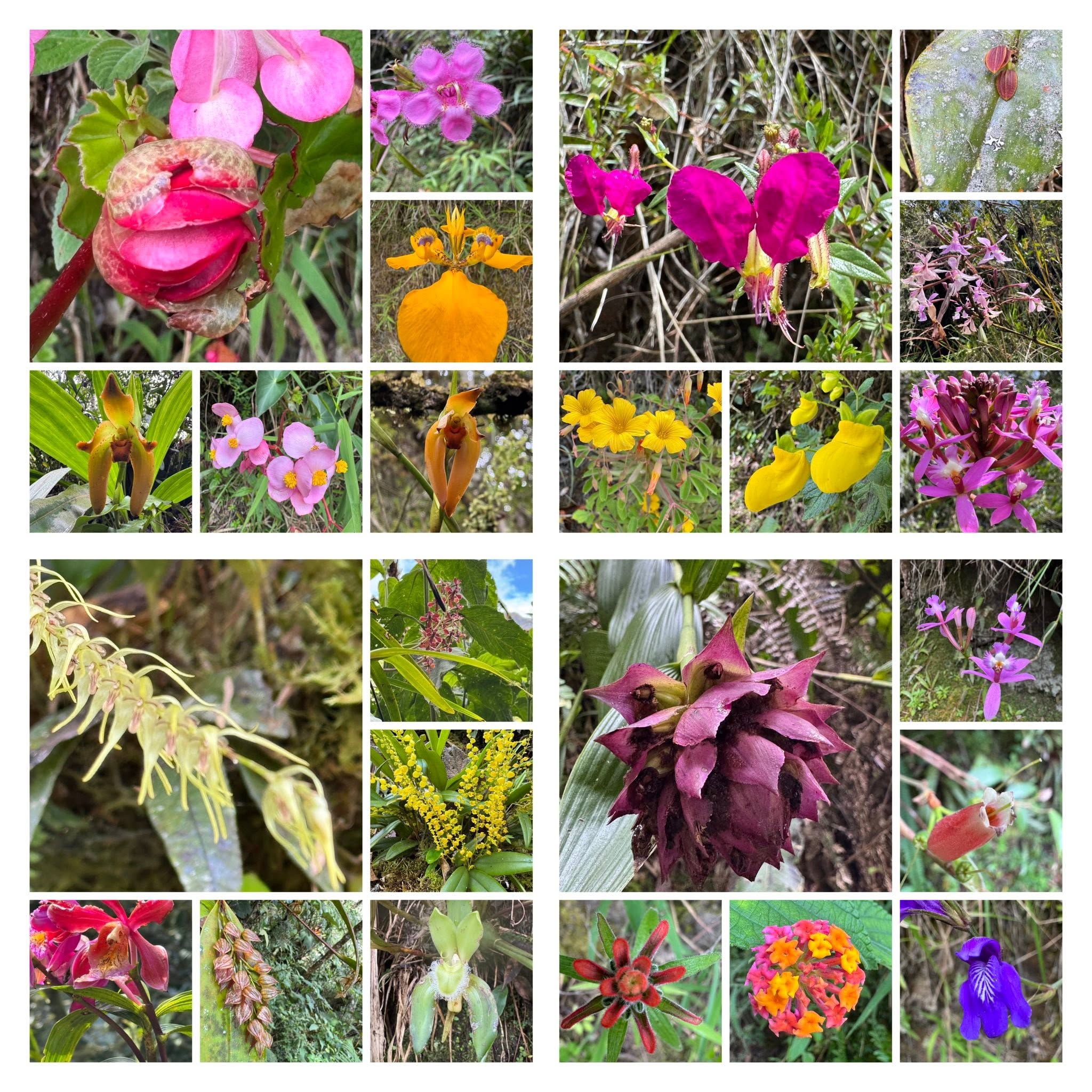
A small sample of the many species of orchids and flowers en route. We picked a good season to climb!
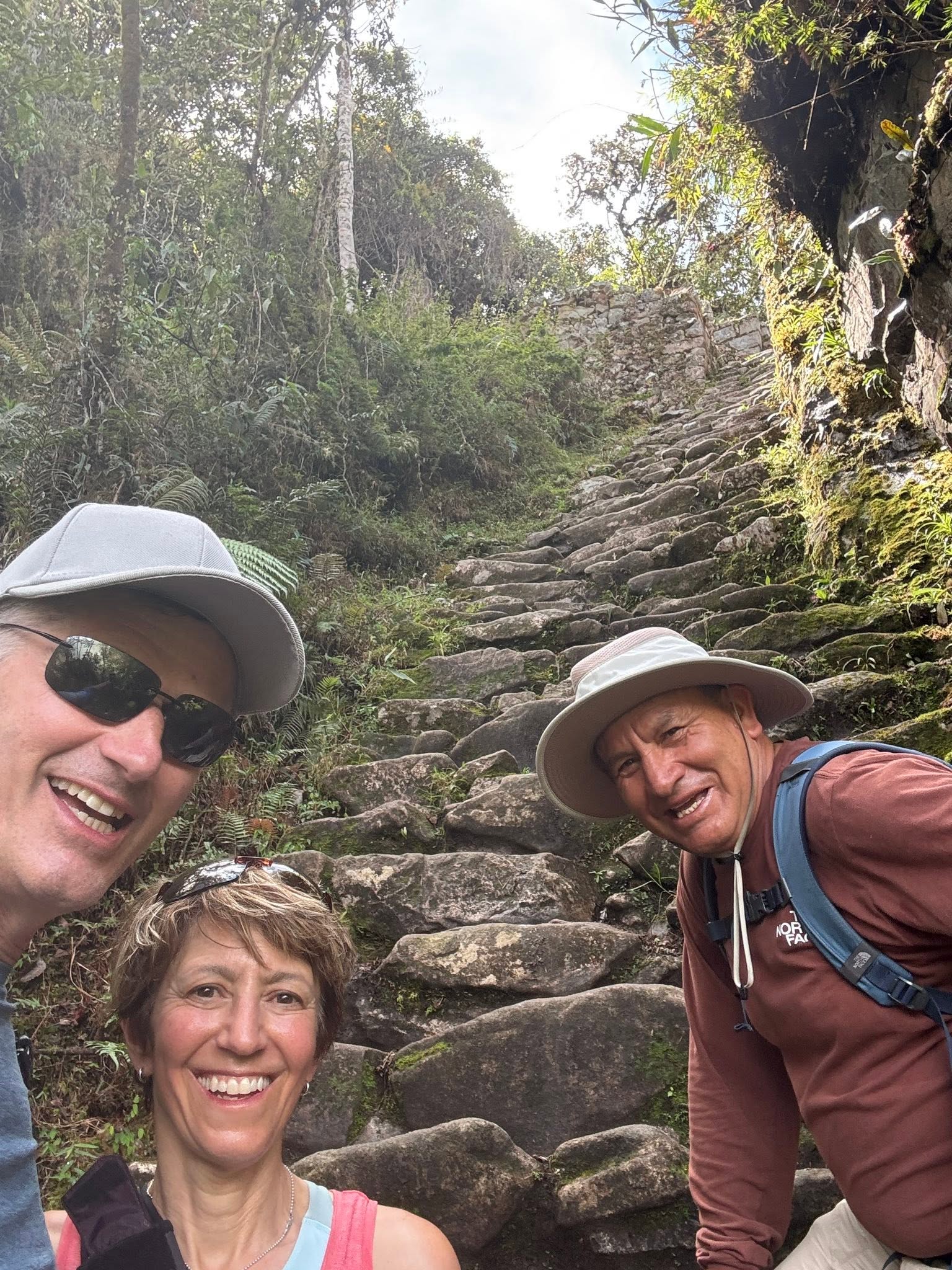
The “Gringo Killer” steps are 50 stone steps (not to code, I might add) built deliberately steep by the Incas to thwart any potential ambushes on the approach to Machu Picchu. Despite the nickname, there have been no recorded deaths or even injuries on this section.
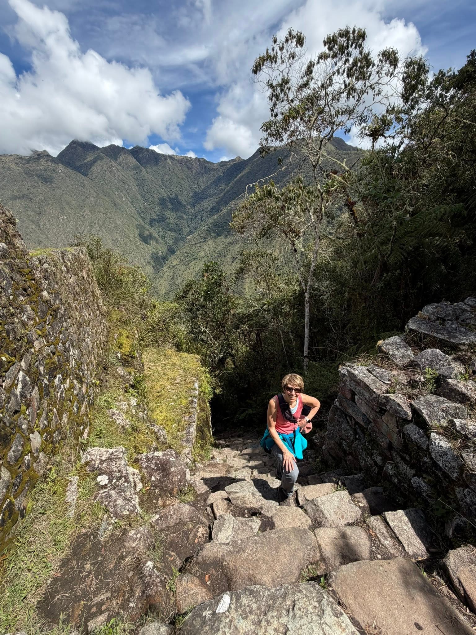
This gringa made it to the top of the steps!
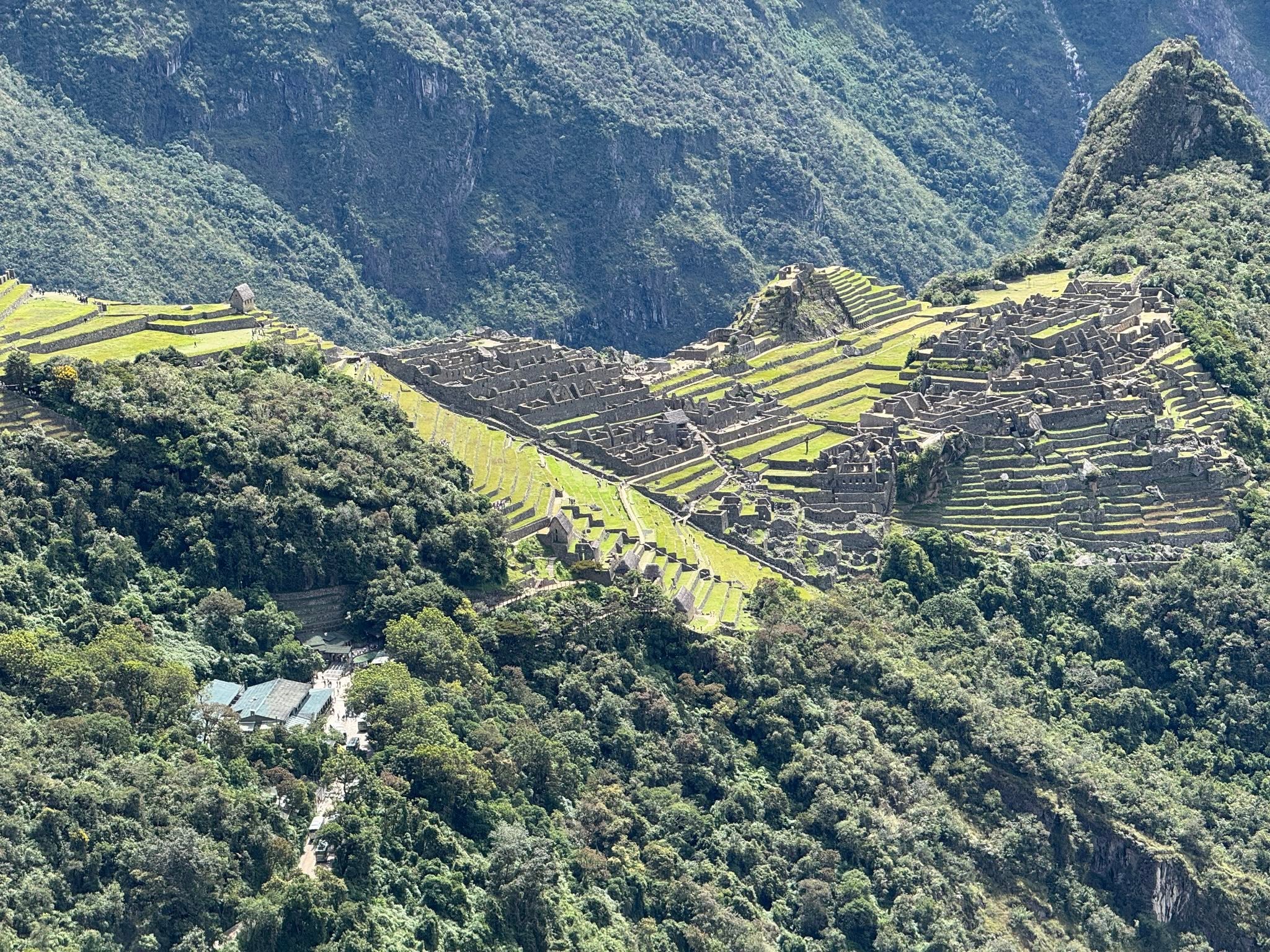
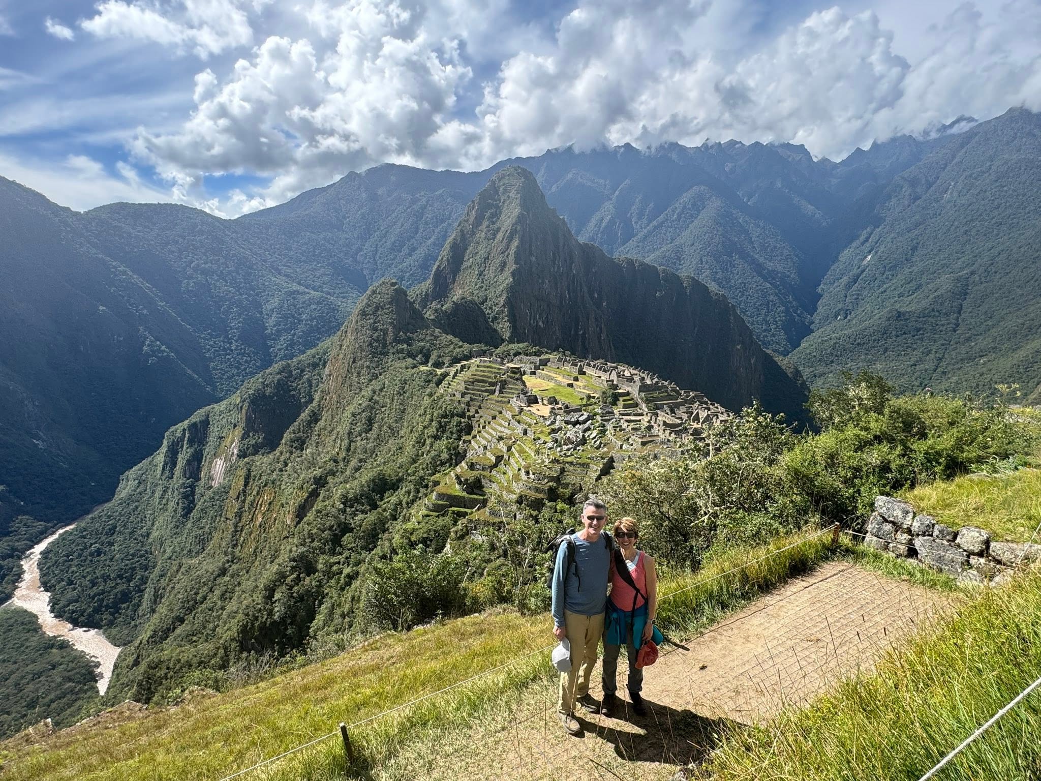
The spectacular view of Machu Picchu from the Sun Gate, once the main entrance to Machu Picchu. It would have been guarded by Inca military in the day but Adam would say that when we passed through, it was guarded by a snarky woman from Utah.
The site stretches over 8km using about 3,000 stone steps linking all the different levels. People lived and worked here from around 1420 to 1530, with construction spanning two rulers: Pachacutec Inca Yupanqui and his successor son Túpac Inca Yupanqui. Archaeologists know that would have started before 1450 and ended around 1470.
The mountains around it, called apus,were considered to be ancestral deities which clinched the choice of location. Short lived its was, having been abandoned in 1535. And not because the Spanish barrelled in! The Inca were long gone before any Spanish showed up, likely due to a smallpox epidemic (thanks to the Spanish), severe drought and the actual difficulty of maintaining a population in such a remote location.
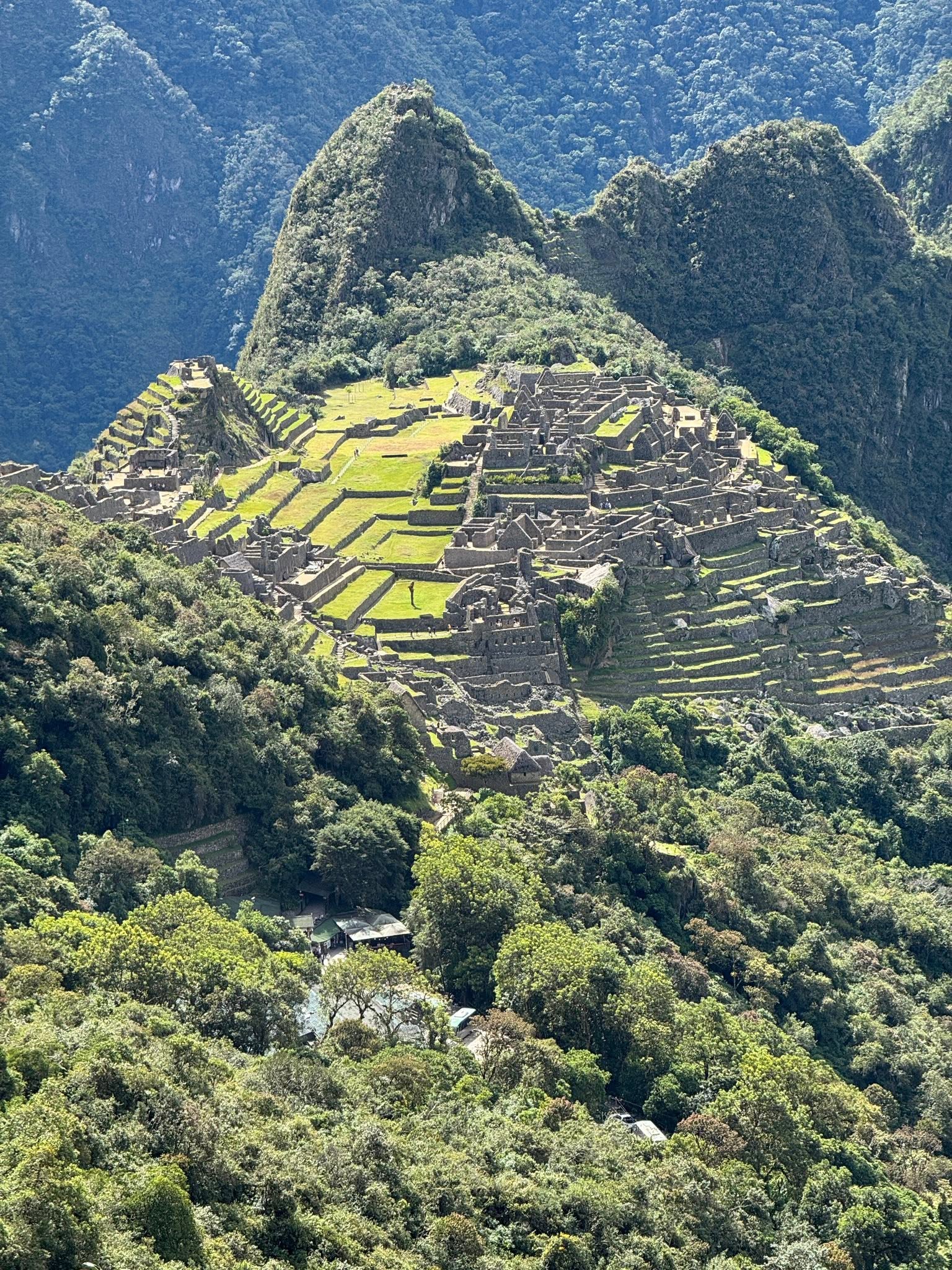
Using 20,000-30,000 people years to build (over a wide estimate of 30-100 years), it was finally ready for its purpose as the place where the Inca emperor and his family could host feasts, perform religious ceremonies, and take care of the empire’s business. Construction used the mit’a labor system, whereby communities across the empire contributed workers in rotation. These labourers from across the Inca empire quarried and carved stones, constructed terraces and canals and hauled materials via ramps and ropes made from cactus fibre and camelid wool (presumably the local camel relatives, llamas and alpacas. This system ensured large projects could be completed quickly without impoverishing any single community. Workers would have been paid in food, accommodation and social status for having given their time and skill to this sacred place. They clearly did a good job because 600+ years and several earthquakes later, it still stands. Interestingly, 80% of what we see is original and when earthquake hits nowadays, it’s the reconstructed parts that fail!
The mountains around it, called apus, were considered to be ancestral deities which clinched the choice of location.
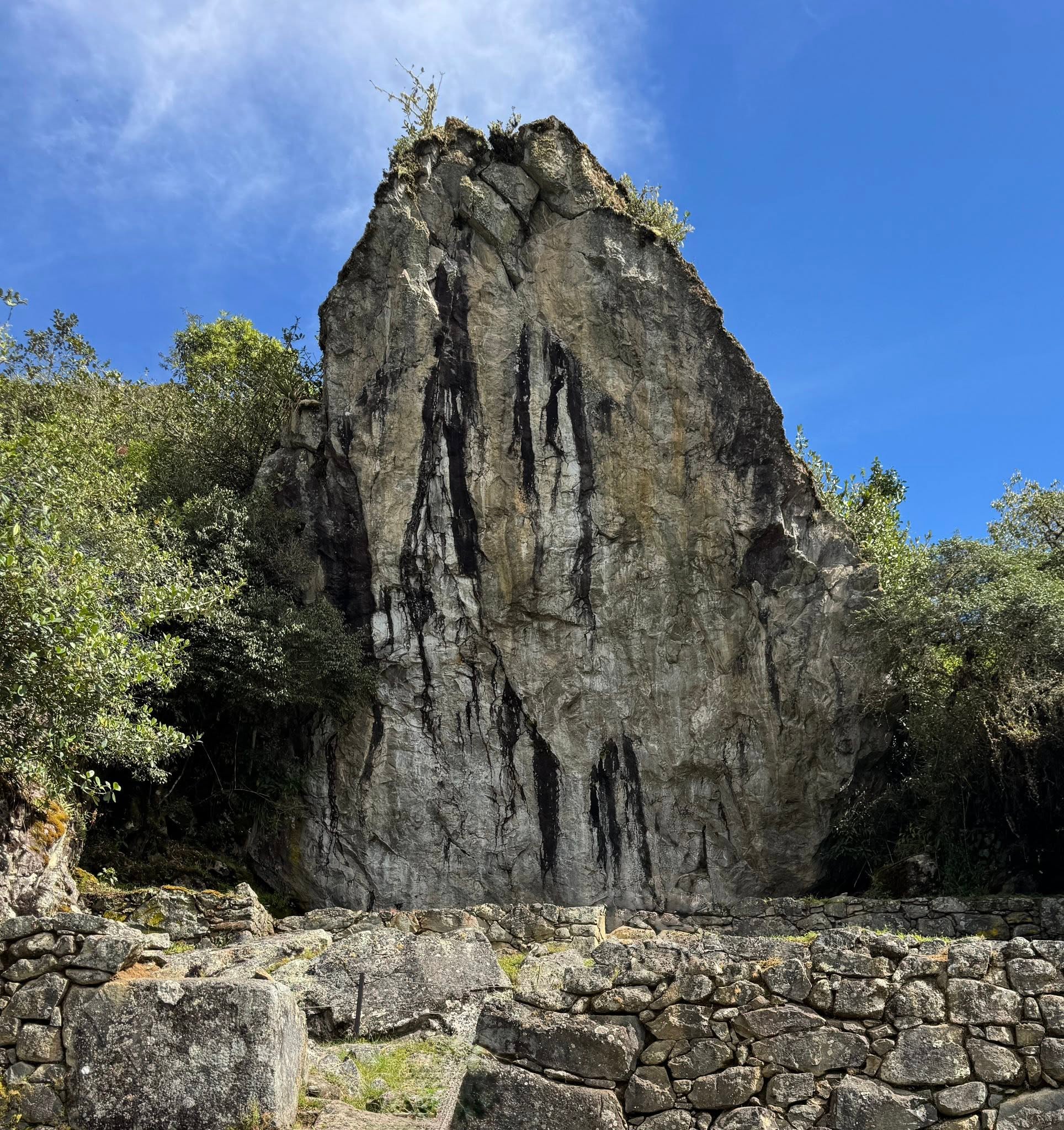
Pachamama on the upper trail overlooking Machu Picchu is a perfect example of how the Inca recognized sacredness in the landscape around them and built around it. With the Inca belief in the sacredness of mountains, finding a huge rock echoing the shape of the mountains around them would have been like a gift from the heavens! This would absolutely not have been broken down into lesser tonne pieces and used as part of Machu Picchu’s building materials! Rather it would have been honoured as a sacred place and site of informal, personal offerings like coca leaves, corn, potatoes and chicha (corn beer). The vertical streaks would have been associated with life, fertility and flow of water, which we know was critical to life for the Inca.
The Inca didn’t dominate nature, they anchored their city into it spiritually. Given where our environment is headed today, we could have learned a thing or two from the Inca…
There’s part of the horseshoe of the Urubamba River creating the natural moat around Machu Picchu below 450' cliffs. Not an easy place to invade!
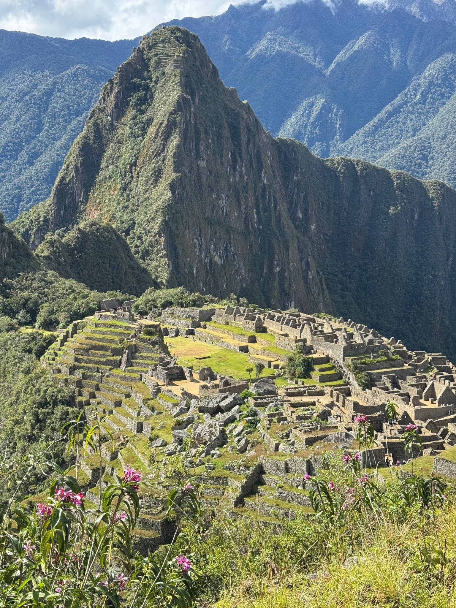
There’s clearly a lot to be seen here (and I’ll save that for tomorrow) but what’s not obvious is that 60% of the structures are underground; walls and drains that twist through the ground, and that doesn’t include what goes on under the terraces.
The terraces are not just giant steps cut into the mountainside to make gardens. Tucked between the retaining walls against the hillside, below and above every terrace are layers of material to serve their function of drainage, irrigation and erosion protection. Below the soil where maize, potatoes and other plants flourished, there was a layer of sand, on top of a layer of gravel, on top of a layer of stones.
Speaking of terraces, that tall mountain behind Machu Picchu is called Wayna Picchu. If you zoom in and look just below the peak, you will see yet more terraces! Yes, they planted up there, yes, people today can hike up there and no, we didn’t hike up there. You need an advance reservation which we didn’t know about. That’s my story and I’m sticking to it!
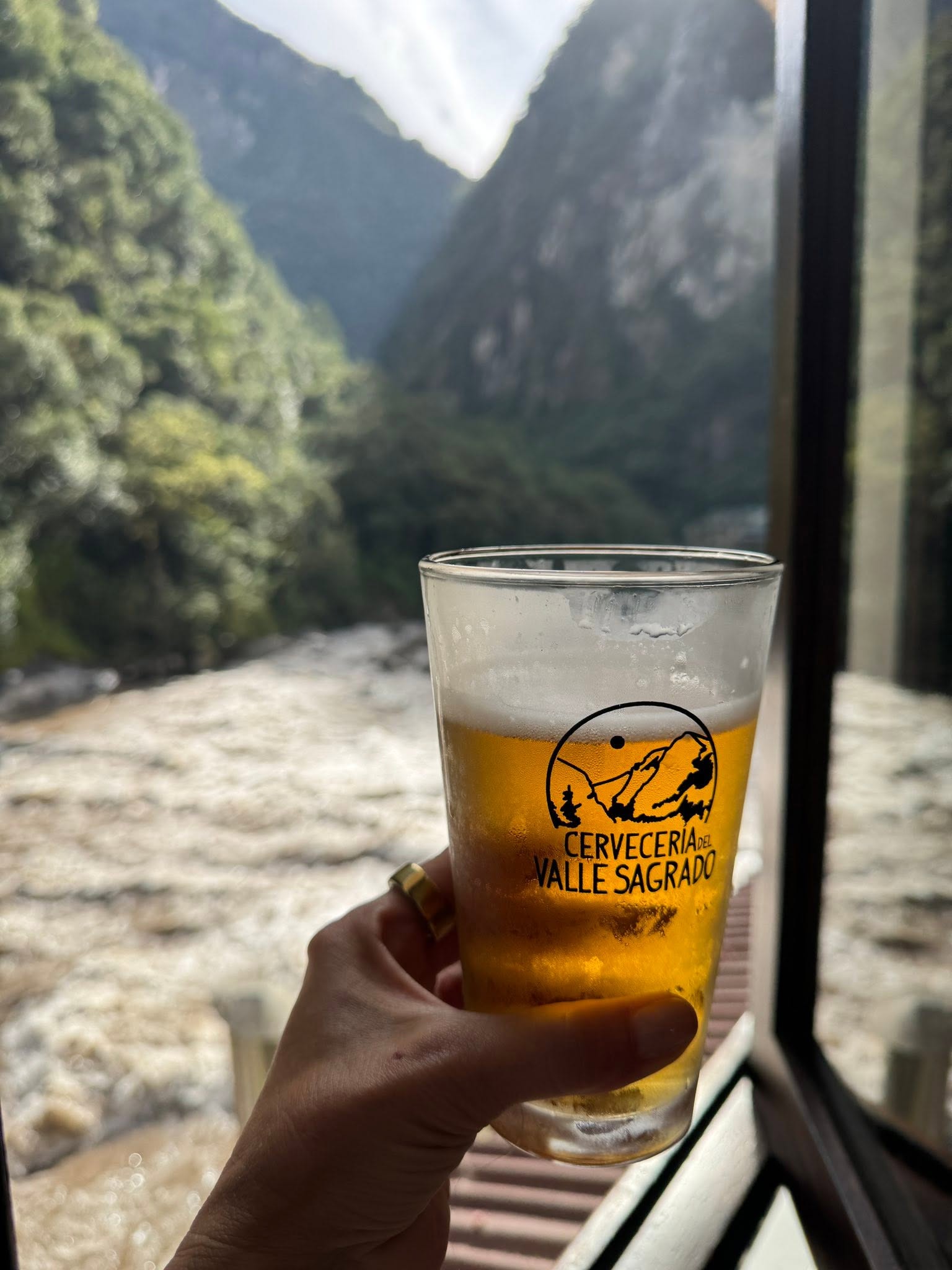
We finished a good hike to a breathtaking place with the local Cusqueño beer by the rushing Urubamba River...
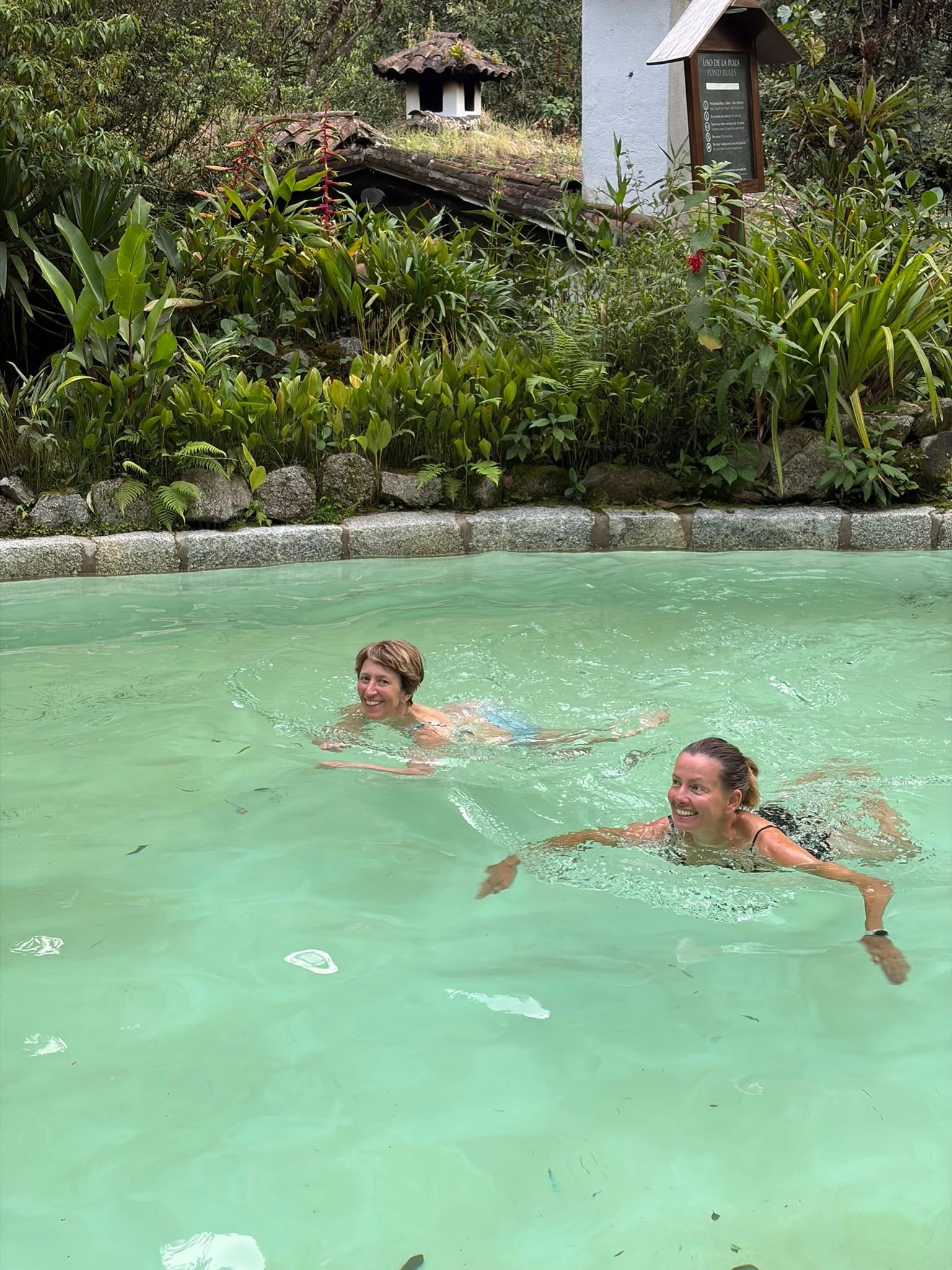
…and, of course, with my new Australian/Swedish friend, a cold plunge!
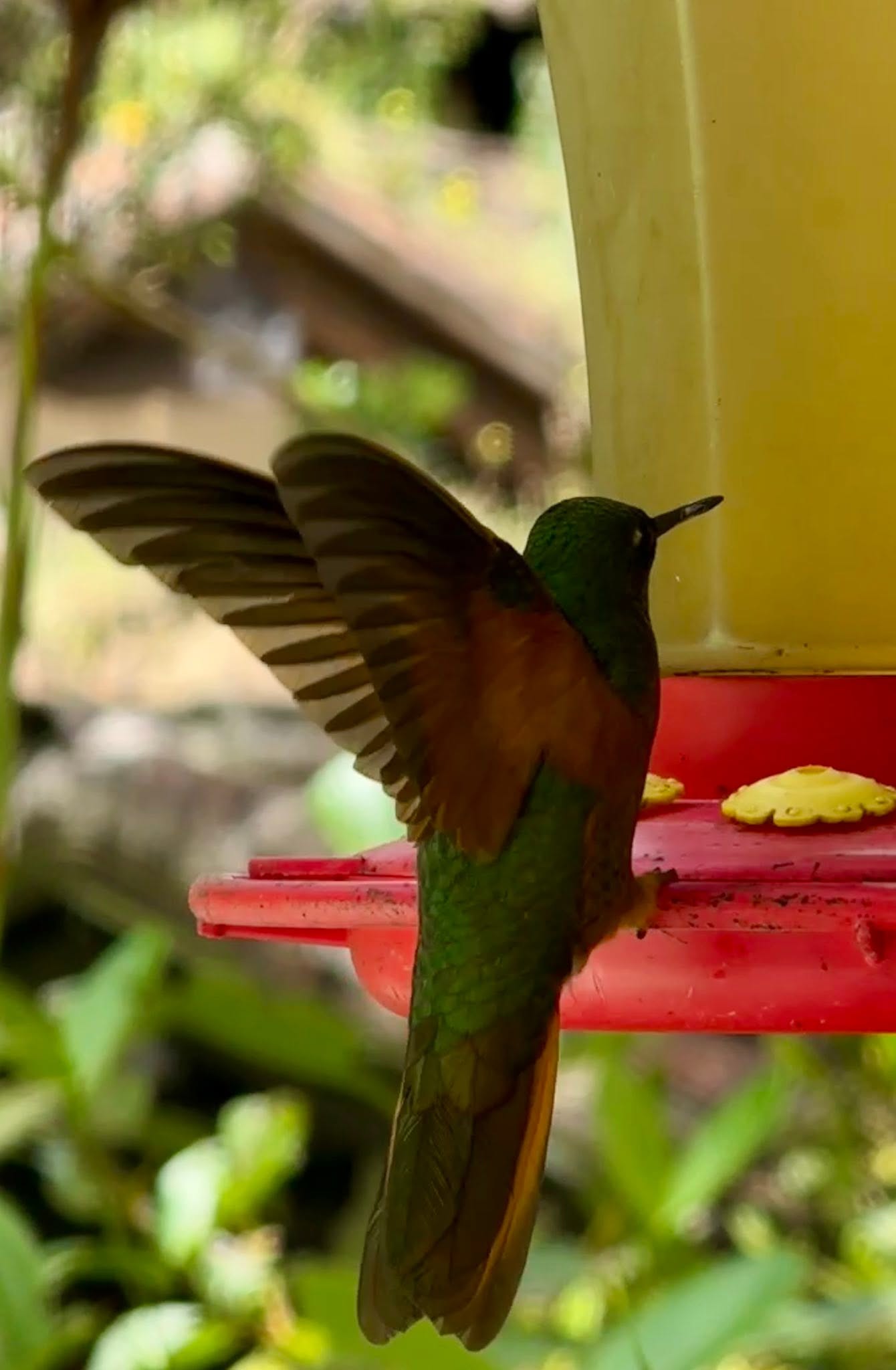
A sweet welcome from the resident hummingbirds at our lovely hotel in Aguas Calientes.